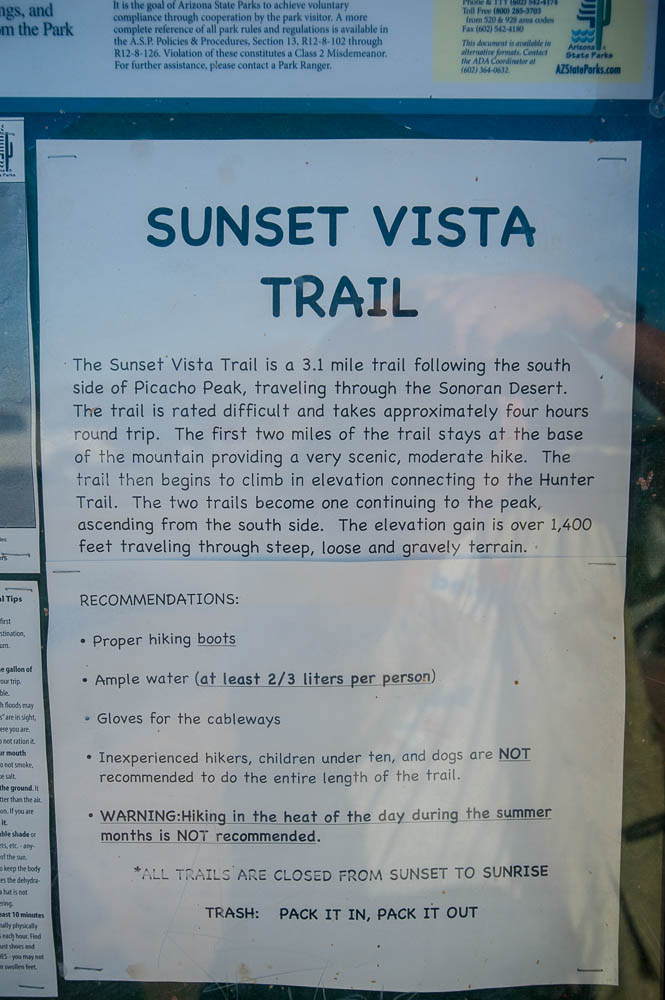
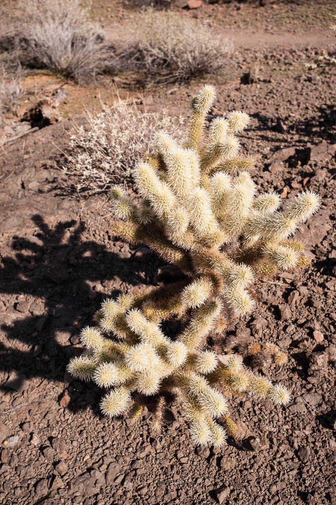
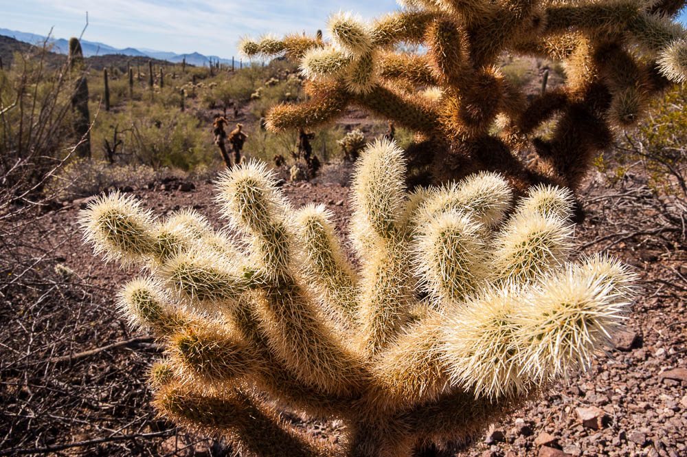
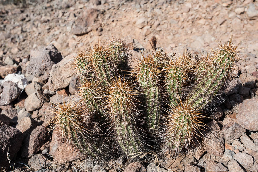
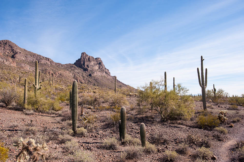
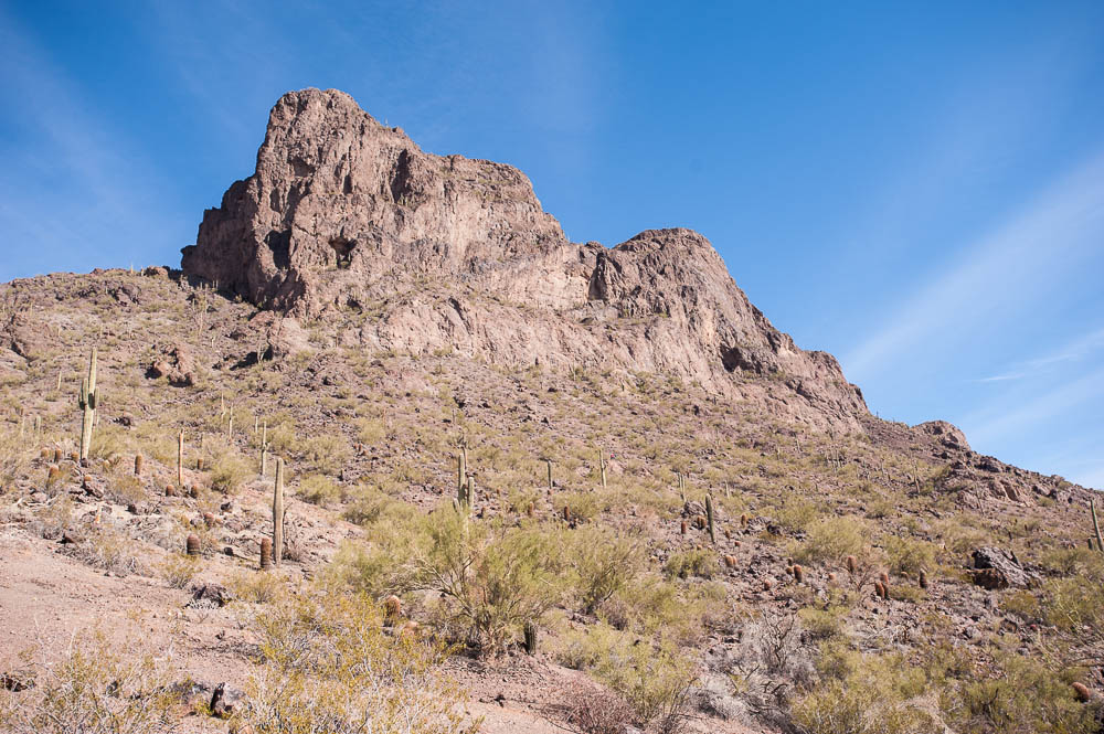
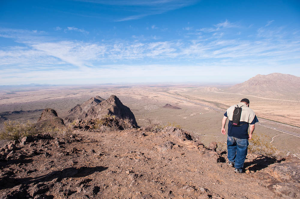
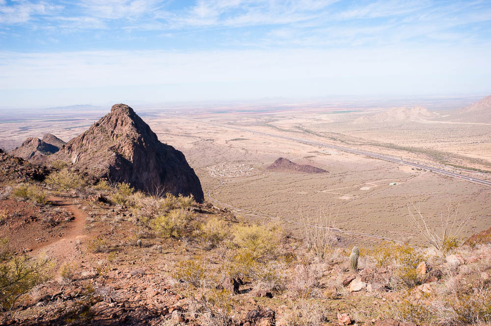
On a 2013-14 trip around the US & Canada, I stopped at Picacho Peak State Park in Arizona. Picacho Peak overlooks the campground and is a tempting hike. There are two trails to the peak, the Hunter Trail at 2 miles and the Sunset Vista trail at 3.1 miles. For some reason, I chose the longer trail. It was a nice hike through the desert, but the return seemed to take forever. I was hoping for sight of the parking lot over every hill!
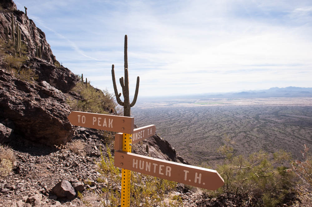
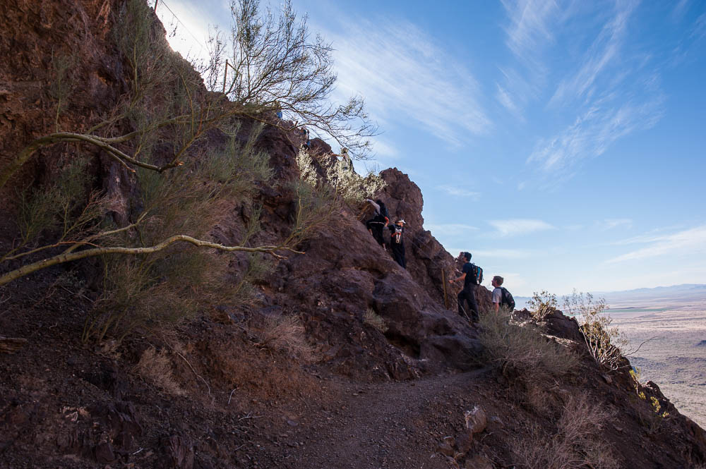
As the photo of the trail information states, the first 2 miles are a climb with steps, loose gravel, and a bit of rock scrambling, but not too difficult. The last mile definitely meets the description as "difficult". I'd compare the overall hike and climb to going up Angels Landing in Zion National Park. While the switchbacks at Picacho are shorter & fewer than the "Walter's Wiggles" section of Zion, the trail is not as well developed. I have to admit I didn't do the last .4 miles at Zion because the downhill traffic was so heavy you waited 10 - 15 minutes for every section of chain.
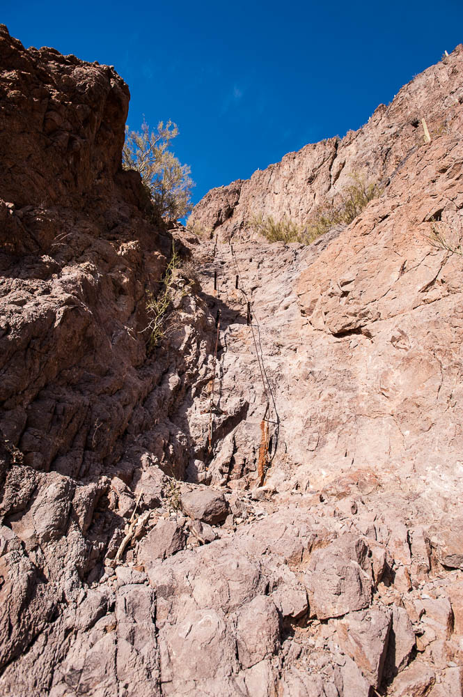
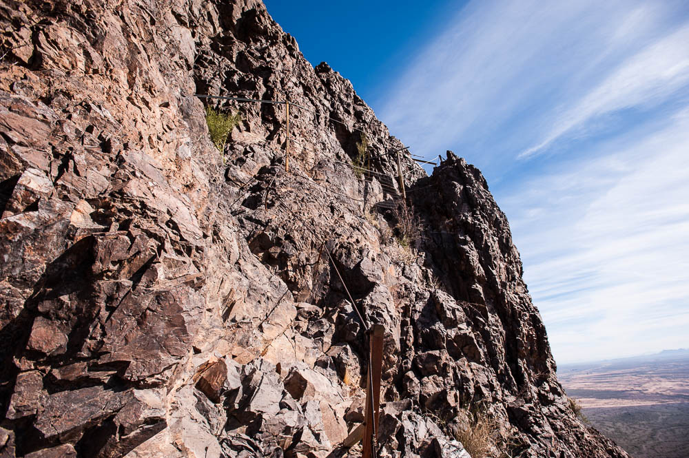
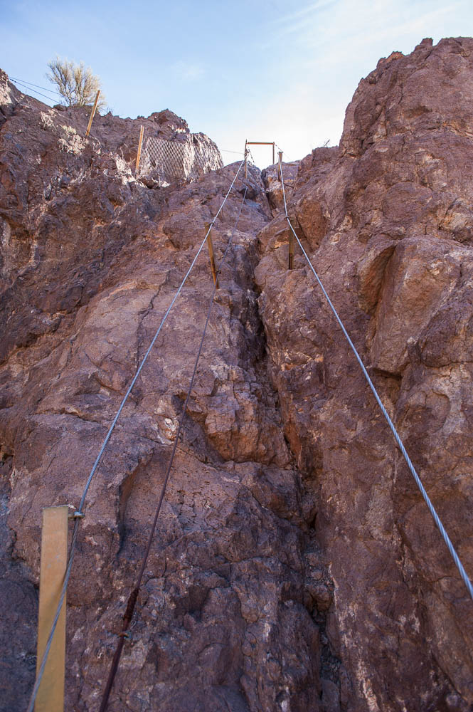
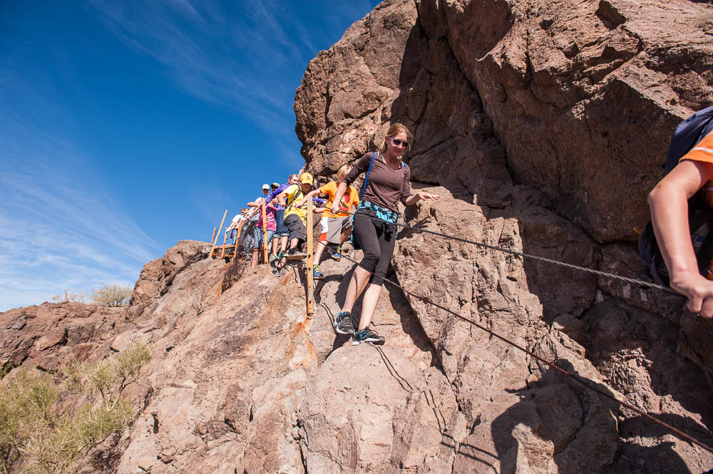
That said, while the drop was higher at Zion, here at Picacho it is still long enough that going over the edge would have the same result. Rather than a chain, here they have cables, which are a bit rougher on the hands, particularly if you try to slide along them rather than make new grips with each move. They recommend gloves, which I didn't bring.
The first set of cables you come to (taking the Sunset Vista Trail - Hunter Trail does not go up this section) go almost straight up with not all that many footholds. Making the climb requires mostly arm work rather than legs & feet. I almost turned back, but remembering how I kicked myself for not finishing Angels Landing, I ventured on. While the rest of the cable sections were difficult, none were as steep as the first one, although most had tricky footing.
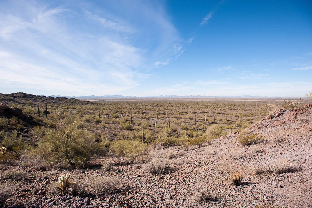
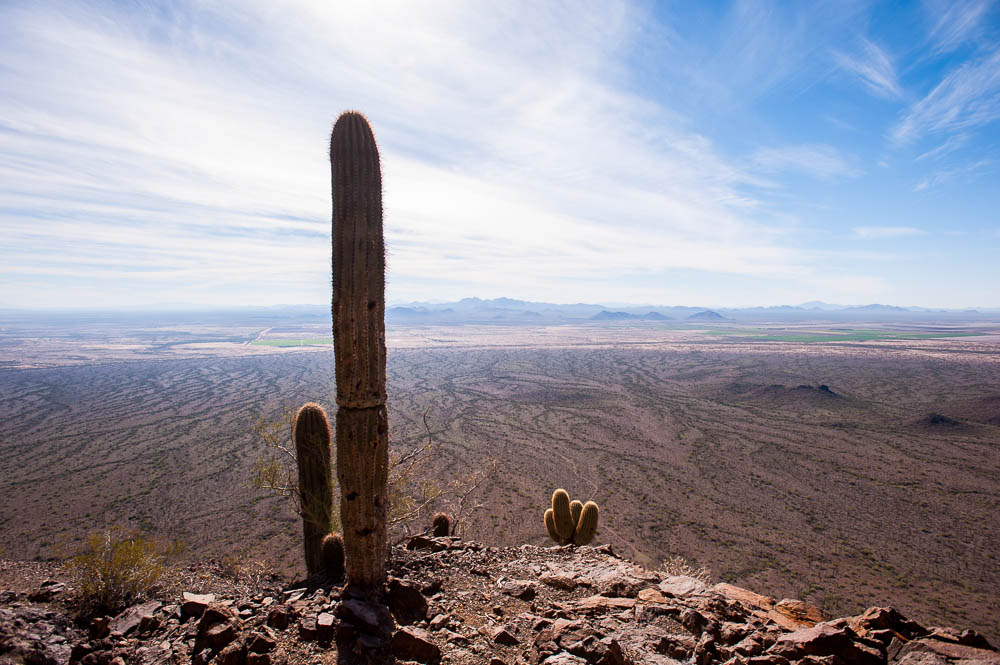
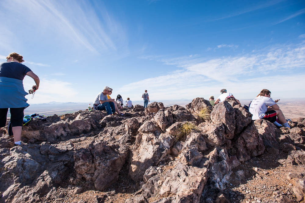
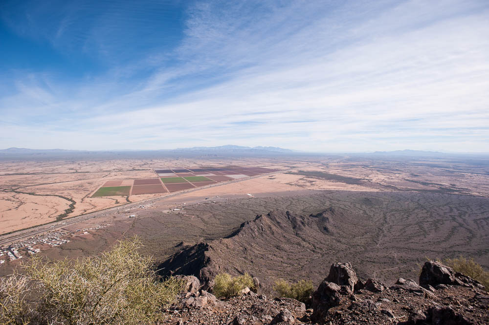
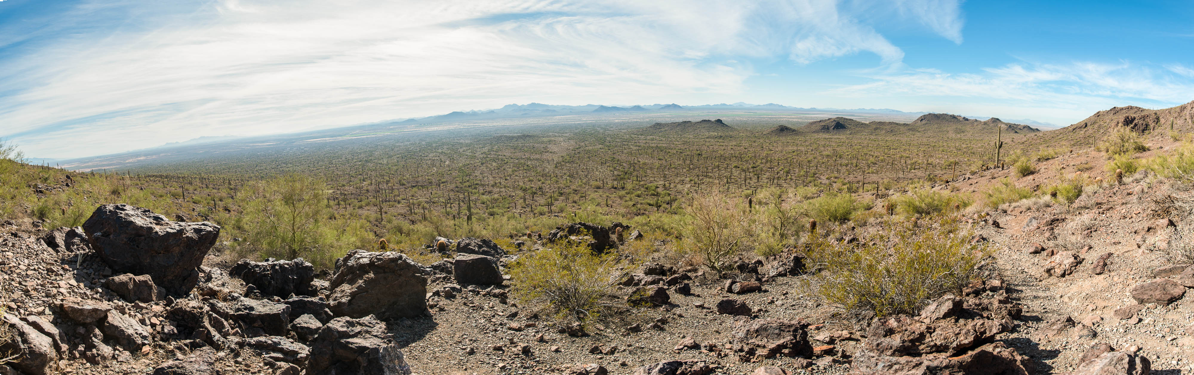
In any case, the view from the top is great. The return trip was uneventful, although as usual, the footing going down was more difficult than going up, particularly on the loose gravel. At least gravity was on my side so I didn't have to stop for breath as often. All in all, a great hike. Since I didn't do the shorter Hunter Trail, I don't know which is more difficult, however the Sunset Vista trail was quite a hike!
