
Mesa Verde N P (D)
Mesa Verde N P (J)
Mesa Verde
N P (J)
N P (J)
Mesa Verde N P (J)
Mesa Verde N P (D)
Mesa Verde
N P (J)
Mesa Verde N P (D)
C & C Campground (D)
Our 1996 Trip Across the USA Page 20
Back to Jon Vermilye's Photo & Trip Page
A note on Photographs - All of us are taking pictures - I'll do my best to give photo credits with an initial, but if I miss one be sure to let me know! J = Jon, D = Don, A = Anne & C = Carol. You can usually tell Anne's - her camera puts the date on the image! Also, most of the images are scans of old & faded prints, so the quality may not be all that hot.
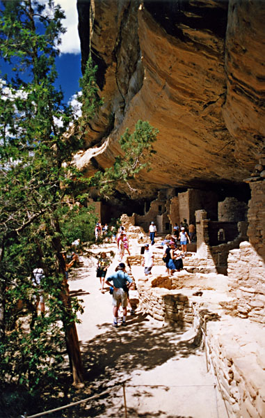
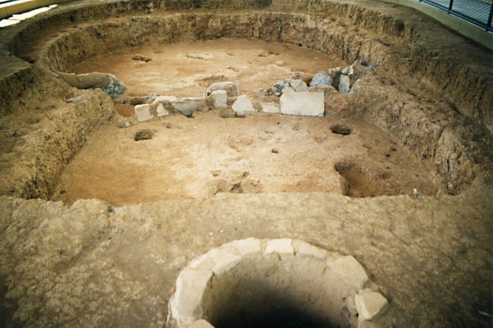
July 15 - Mesa Verde, CO (64mi)
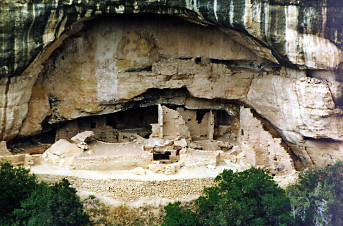
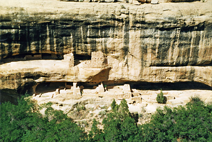
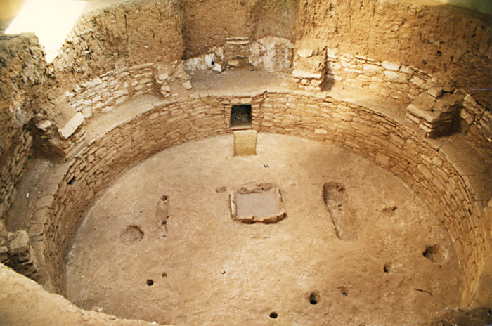
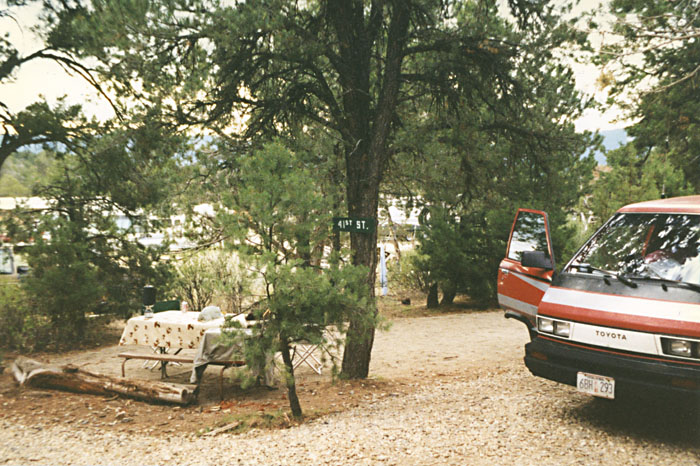
Today we slept in. After a late start we drove into Mesa Verde National Park. On the way in Don played bumper cars with a Saturn at the park gate. After that we drove into the park. A long drive - you can easily spend a couple of days here. There are many cliff dwellings, some of which you can tour. We also found a plant called Oswego Tea, (also known as Bee Balm) a little touch of home. By the time we drove around the park, visited the cliff dwellings, kivas, etc it was a little too late to drive to our next stop so we headed back to A & A Campground. Couldn't get our old "25th Street" site so we had to settle for 41st Street, a non-electric site. After a short dip in the hot tub is was off to rest our weary bones.
|
|
|
Mesa Verde N P (D) |
Mesa Verde N P (J) |
Mesa Verde N P (J) |
|
|
|
Mesa Verde N P (J) |
Mesa Verde N P (D) |
Mesa Verde |
|
|
|
Mesa Verde N P (D) |
C & C Campground (D) |
July 16 - Heart of the Rockies, West Salida, Co (257mi)
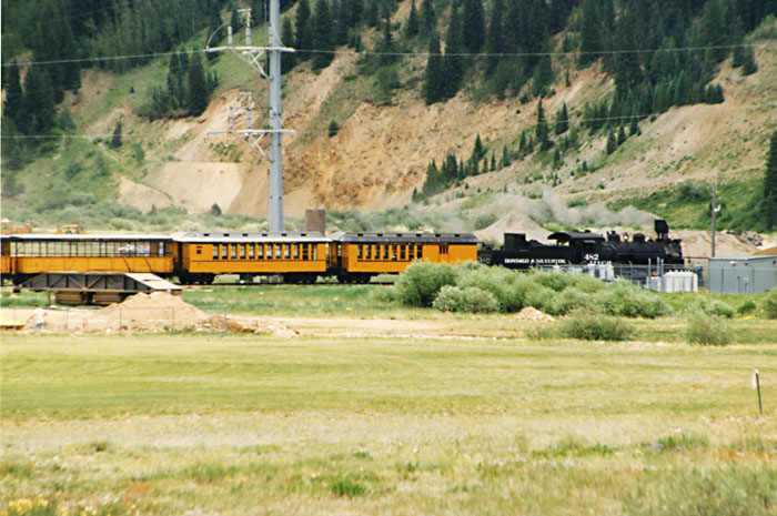
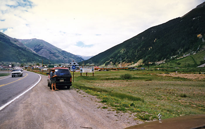
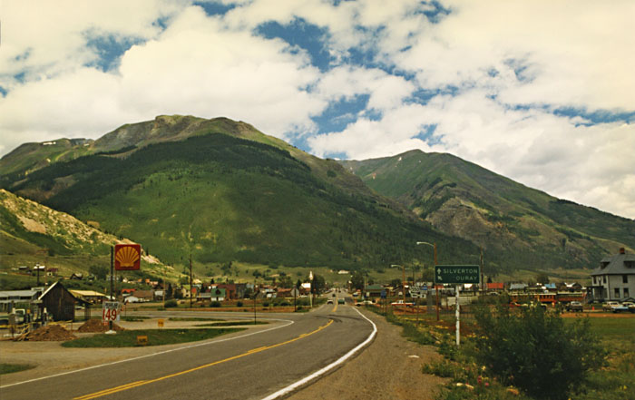
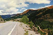
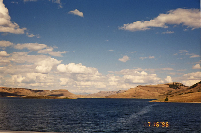
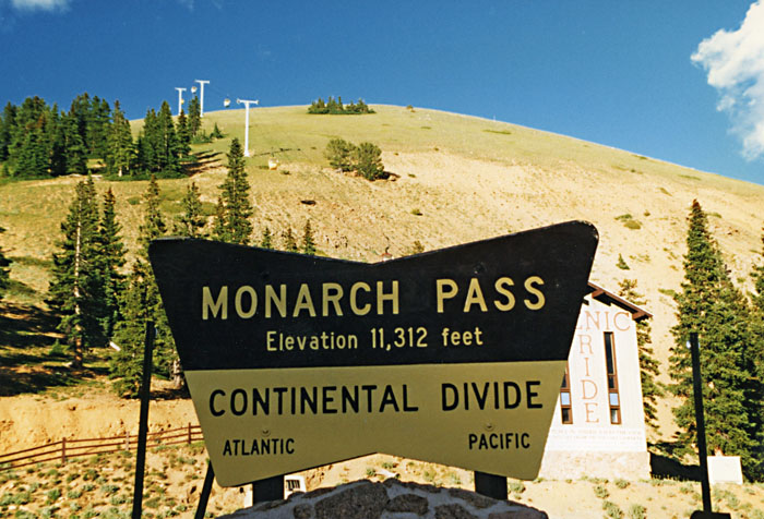
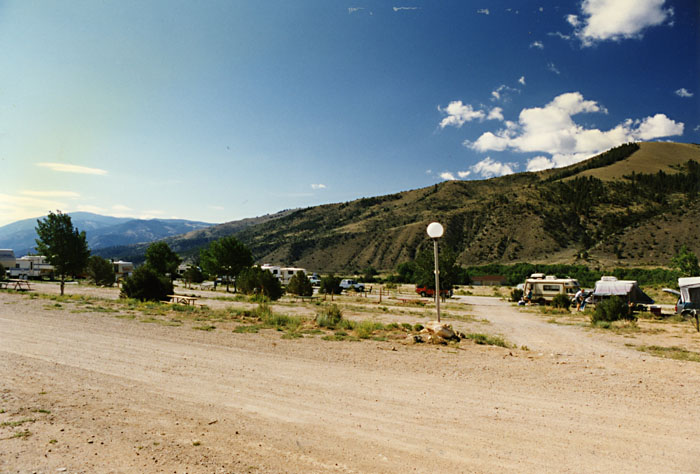
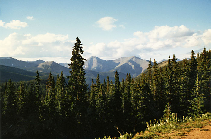
After a quick breakfast we headed towards Estes Park, CO to visit with our daughter Karin. Today's drive has been through some of the most beautiful parts of Colorado. We started by following US 160 to Durango, then north on US 550. The stretch of US 550 between Durango & Silverton is referred to as "The Million Dollar Highway." I'm not sure why it got that name - so far I have been told it is refers to the value of the ore-bearing fill that was used to construct the road, or that it refers to the high cost of building that section of the road. Personally, I believe it is the value of the views along the way. The Durango & Silverton Narrow Gauge Railroad is suppose to be one of the most beautiful train rides in the US. In any case, we drove the road that parallels the tracks & it is a great drive. When we reached Montrose, we headed east on US 50, "The Loneliest Road." That really describes the more eastern part of US 50 - in Western Colorado it is beautiful. We reached the highest pass we have been through so far - Monarch Pass at 11,312'. It was a tough haul for both cars so we had to stop for a break (and, of course, to buy a tee shirt!) We knew we wouldn't make it the entire way so when we got tired of driving, we stopped for the evening at the Heart of the Rockies Campground, Site 6 in West Salida on US 50. Another beautiful campground (although the plumbing needs work) with wonderful views from the campsites.
 |
 |
 |
Durango to Silverton Railroad (D) |
Entering Silverton, CO (J) |
Near Ouray, CO (D) |
 |
 |
 |
Along US 50 (D) |
Blue Mesa Lake, CO (A) |
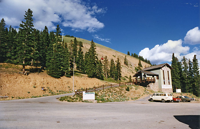
Monarch Pass (D) |
 |
 |
 |
Monarch Pass (J) |
Heart of the Rockies Campground (J) |
View - Heart
of the Rockies (D) |
The plan is to make it to Estes Park tomorrow.
Next
Previous
This page is maintained by: vermilye@oswego.edu
Last Update:
March 21, 2012