It did get cold last night - the low was 32°F, but the electric heater kept the trailer at 62°F. As to the mosquitos, they all went away after I got set up. I don't know whether they don't like eastern blood or what, but I was able to sit outside in my chair & read without a bite. By the way, dinner was a good but expensive thin crust Hawaiian Pizza. Tonight it will be grilled chicken & Pasta Alfredo.
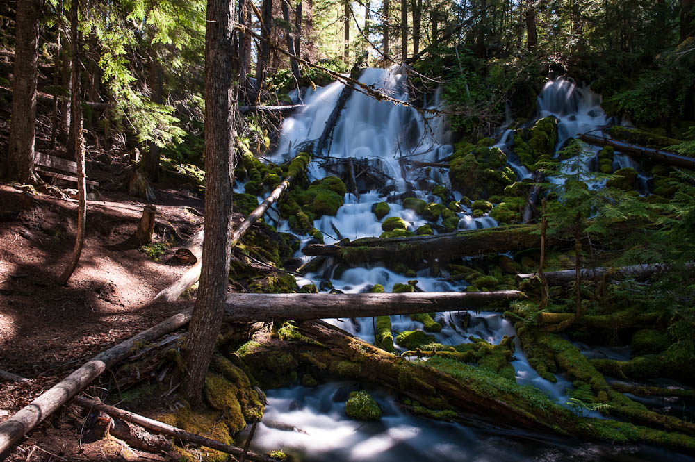
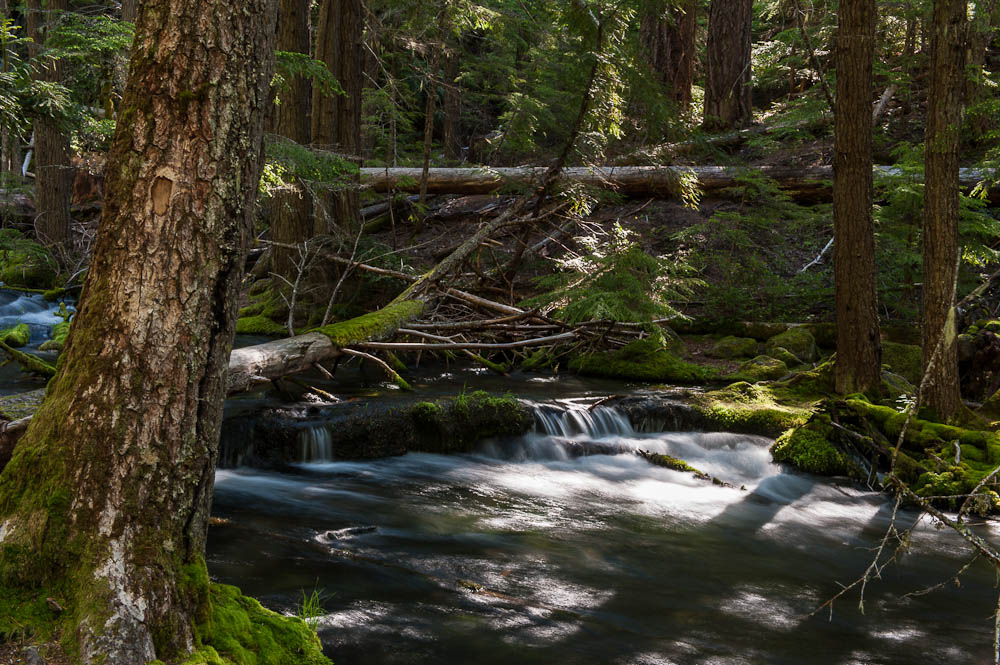
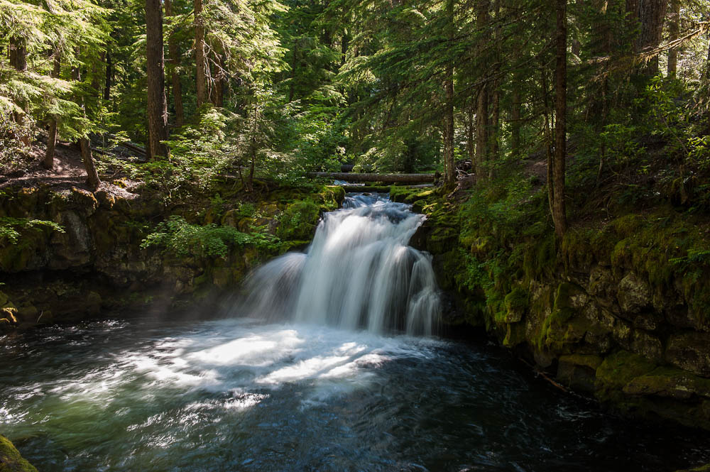
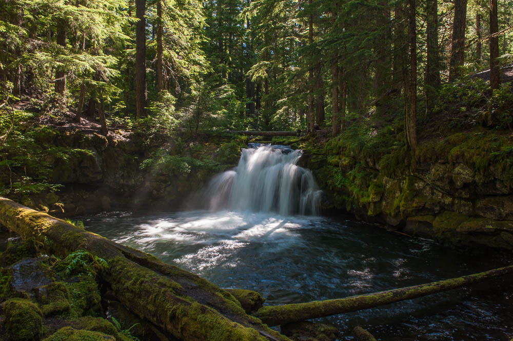
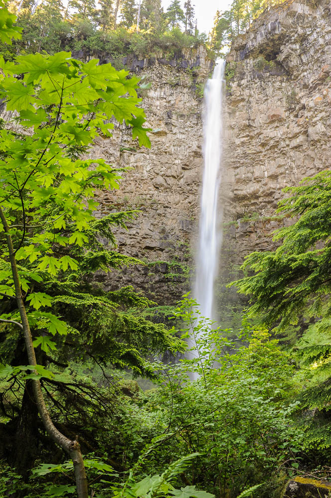
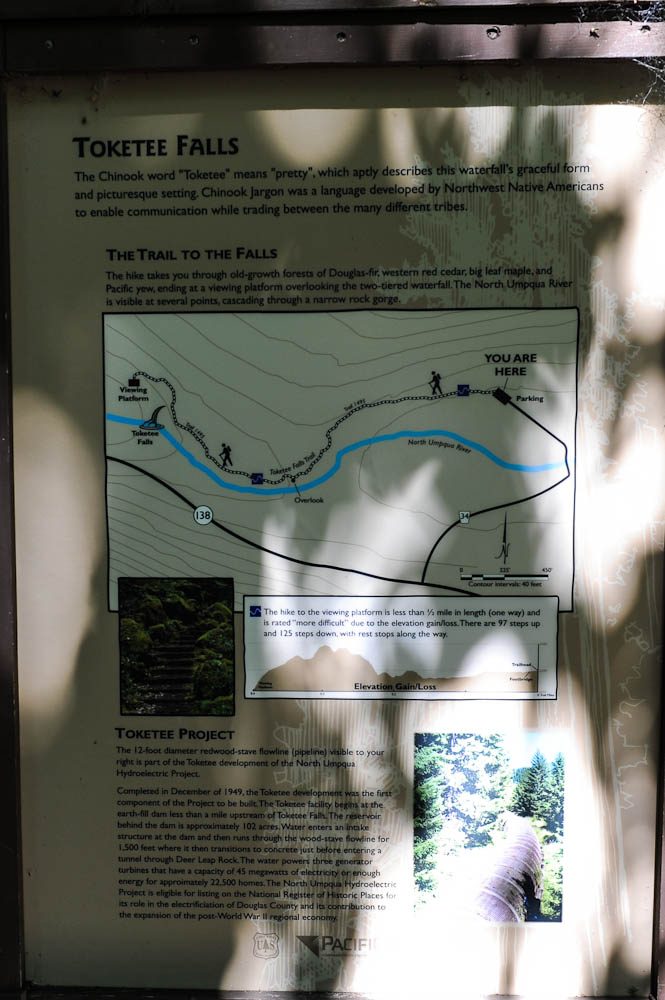
Today was waterfall day. The park map at Diamond Lake Campground has a map on the back that shows 6 waterfalls along OR 138. I stopped at the four of them that are just off the main road. Not one of the best days for waterfall photos. Today has been bright & cloudless - they work best on a overcast day - sunlight highlights the white water part of the falls so much that neither film or digital can deal with the dynamic range between the highlight & the shadows. I did include a couple of variations of some of the images...
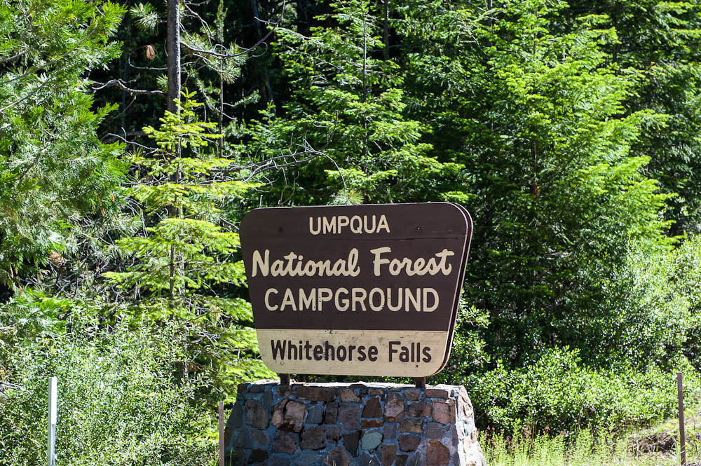
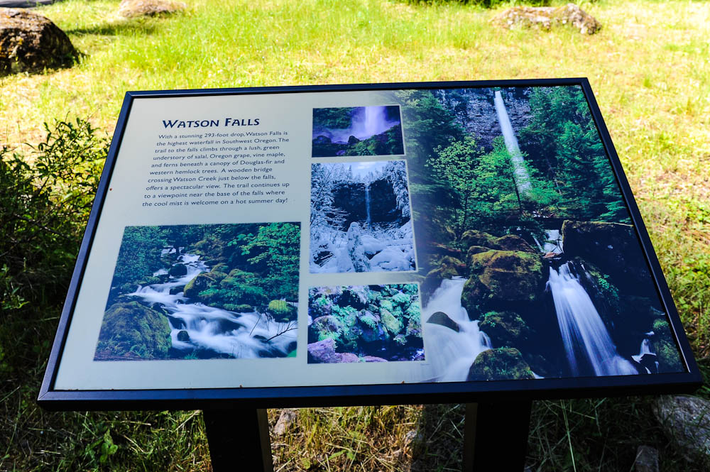
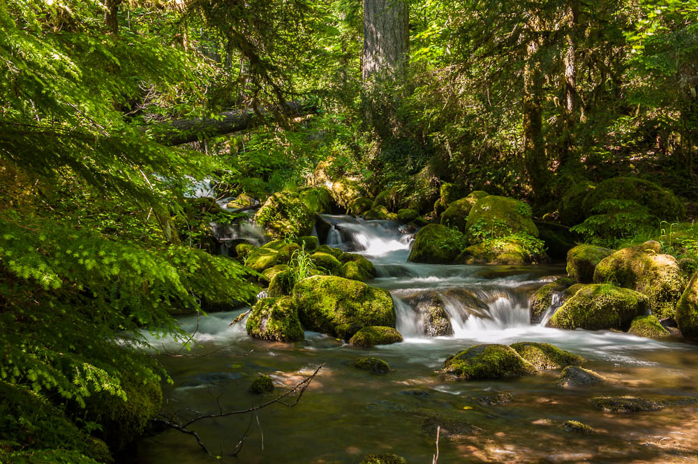
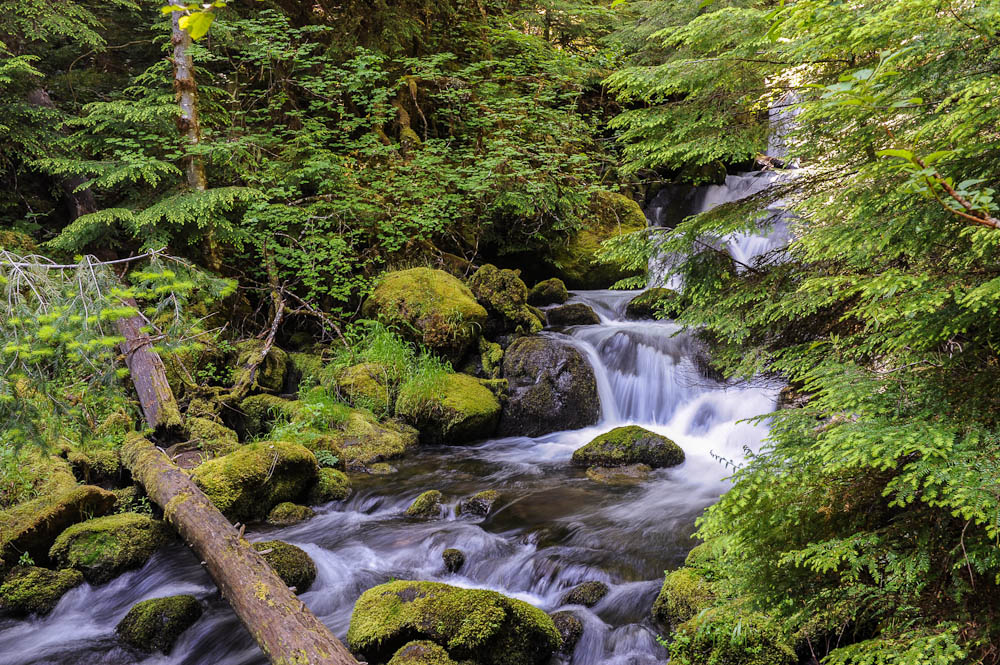
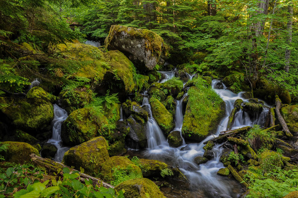
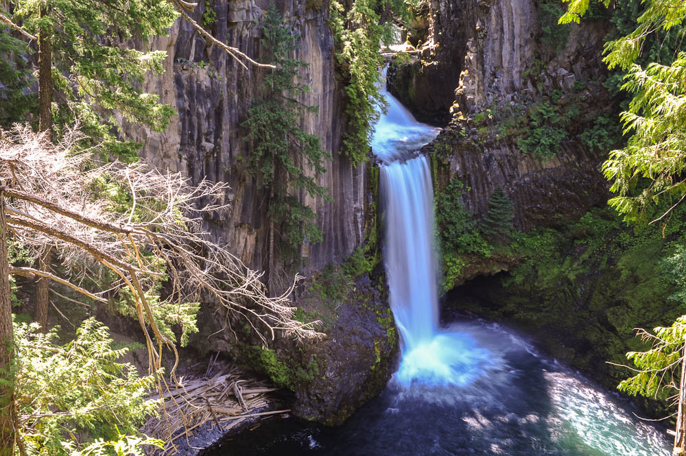
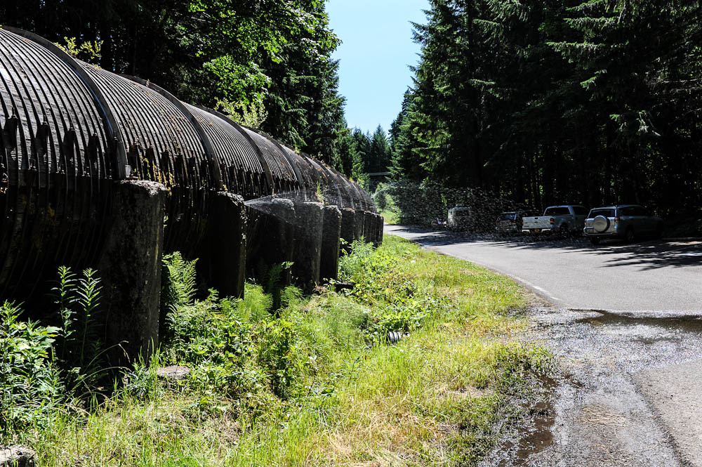
The first was Clearwater Falls, then Whitehorse Falls, Watson Falls and last Toketee Falls. They ranged from next to the road to a 1/2 mile hike, a couple of which were definite climbs. I also took photos of the cascades & rapids below the falls at some of the locations. I tried to name the area for each, but I could be wrong! Most of the large versions of the images has the EXIF GPS data attached, so if you have a reader you can find the coordinates. At the Toketee Falls trailhead they have a very leaky redwood pipeline. In four of five places there is a stream of water spraying out the side of the pipe. It did hold together long enough for me to hike to the falls!
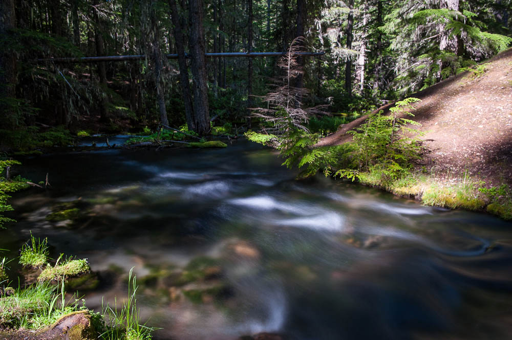
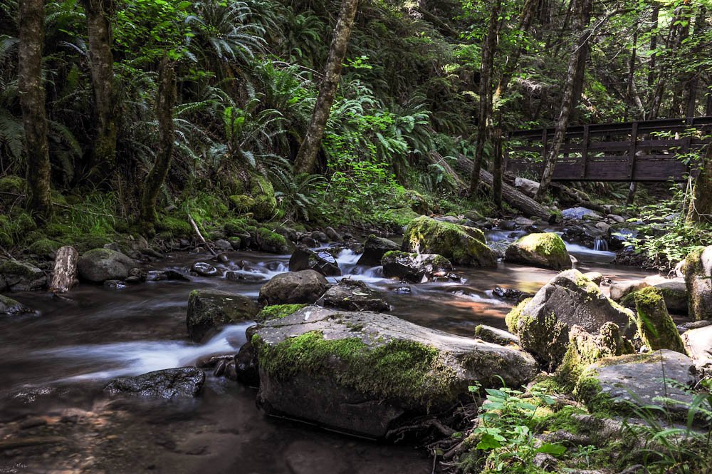
Clearwater Creek
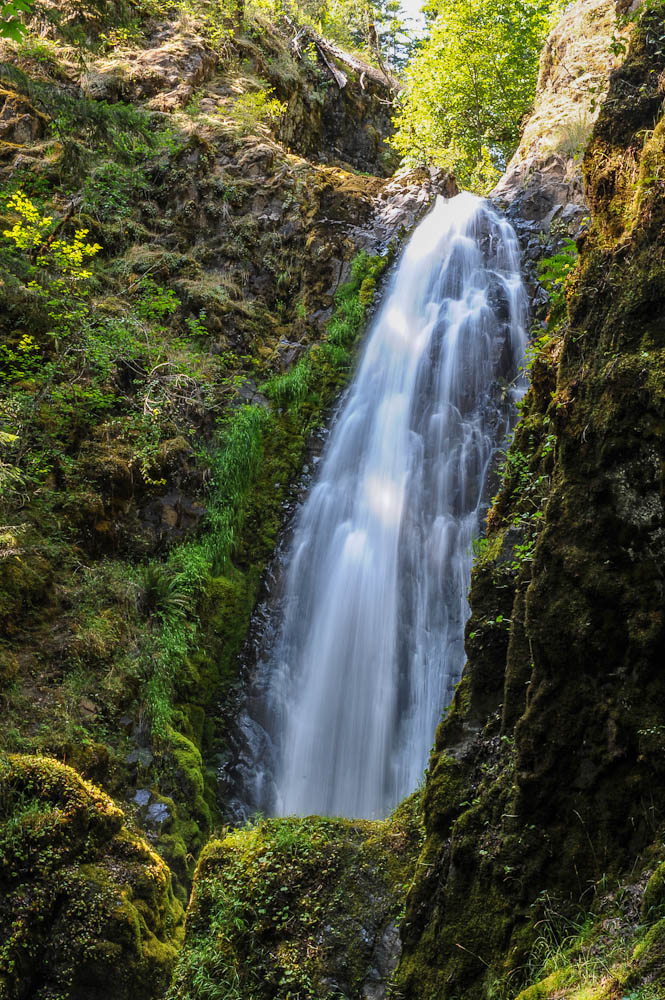
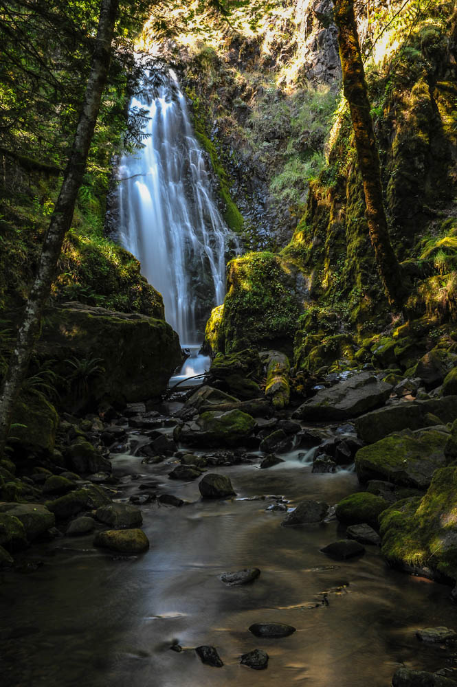
Clearwater Falls
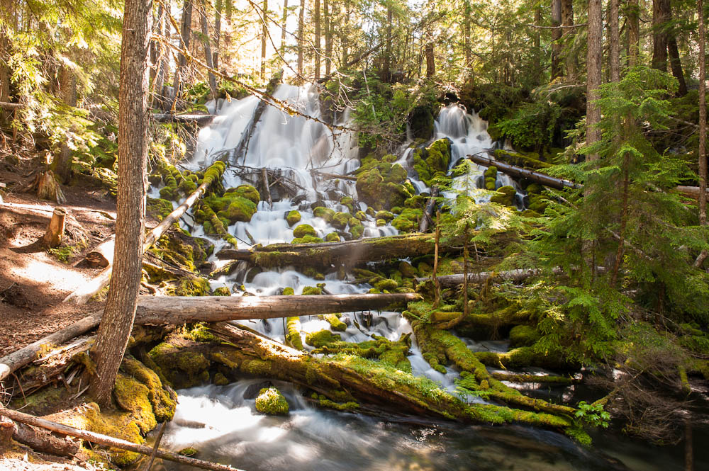
A Warmer Version of Clearwater Falls
Clearwater Creek
Clearwater Creek
Whitehorse Falls
Whitehorse Falls
Whitehorse Falls
Whitehorse Falls
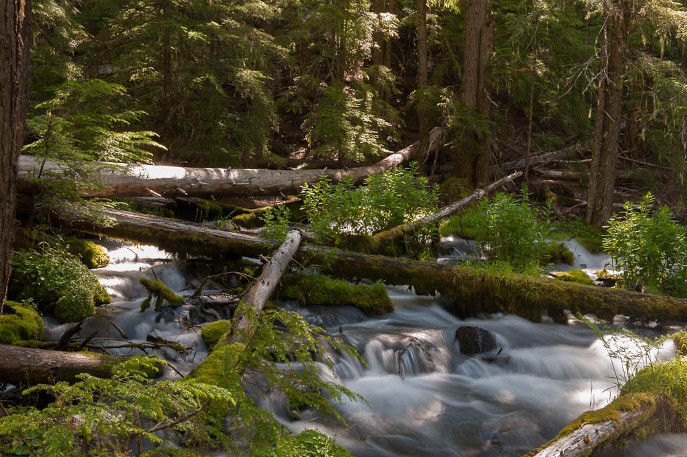
Stream Below Whitehorse Falls
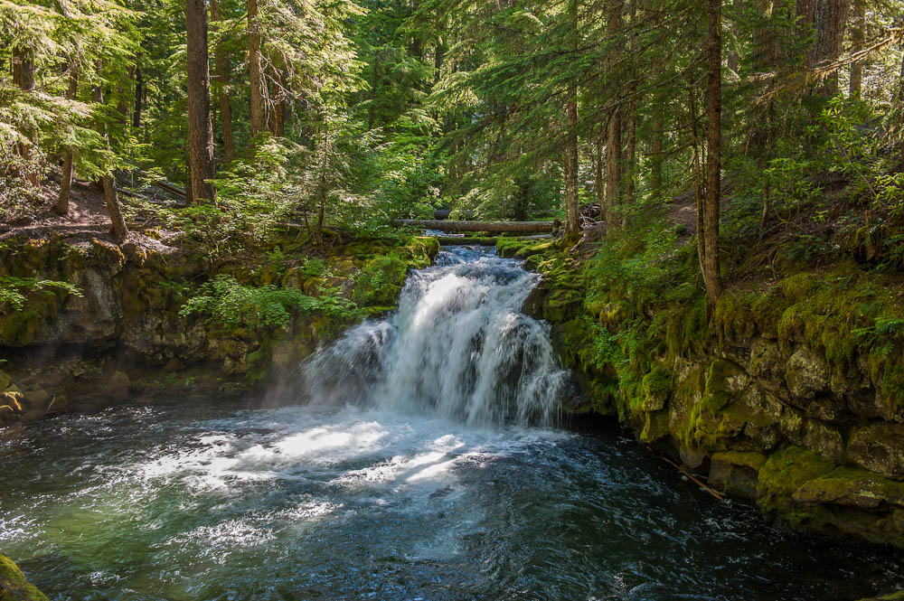
Watson Falls
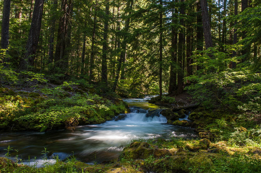
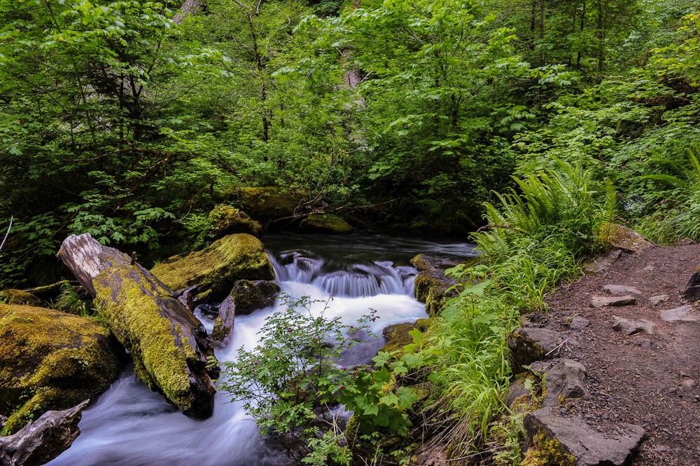
Stream Below Watson Falls
Watson Falls
Stream Below Watson Falls
Stream Below Watson Falls
Stream Below Watson Falls
Toketee Falls
Toketee Falls
Leaky Redwood Pipe
Site 10, Susan Creek BLM Campground
I stopped for the night at the Susan Creek BLM Campground about 10 miles east of Glide, OR. A very pretty campground along the North Umpqua River. I'm not sure if I'll stay one or two nights - no hook ups, but they do have hot showers. Actually, there is one site that does have electricity at twice the standard rate, which is $14.00 per night (1/2 that for Senior Card holders). I was tempted, but left it for someone who actually needed the AC. Since I'm now 4000' lower than last night I'm hoping it doesn't get quite as cold, but if it does, I have plenty of propane for the furnace.
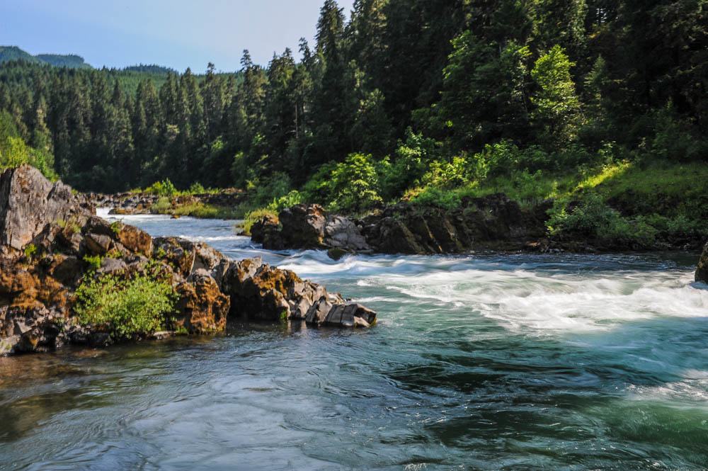
I have an addition - here at the campground they have a map that includes a hike to Susan Creek Falls, so, of course, I had to take it. The longest of the day - a little under a mile each way, but a nice waterfall. I'm not sure why they don't include it on the waterfall map, but here it is. There is also one photo of a section of the North Umpaqua River.